NONAME


Information related to the vessel NONAME (MMSI 799999954, IMO unknown) from with latest positions and portcalls.
| MMSI | 799999954 |
| Name | NONAME |
| Country | |
| MMSI Type | Vessel |
| Type | |
| Id | 604fcf241ecbac459b9b20dc |
| Course | 293.7 |
| Speed (kn) | 2.3 |
| Heading (°) | 495 |
| PAC | |
| ROT | |
| Status |
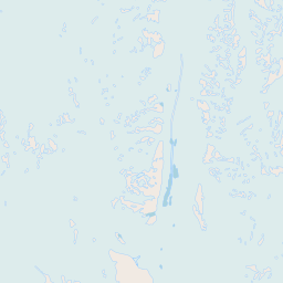
Leaflet | © OpenStreetMap contributors
| First Seen | 4 years ago |
| Last Update | 4 years ago |
| Positions | 1 |
| Latitude | -85.52566166666666 |
| Longitude | -164.20258166666667 |
The vessel NONAME (mmsi 799999954) from country is currently located at -85.525662 S -164.202582 W and the last position is sent 4 years ago. At the moment the vessel is heading 495 degree at speed 2.3 knots, and its current draught is unknown meters. The vessel is long unknown m and large unknown m, and it's estimated to be loaded at 0%.
Timeline
The following timeline will display the list of porcalls and other events regarding the ship including tracks.
