NONAME


Information related to the vessel NONAME (MMSI 682551451, IMO unknown) from with latest positions and portcalls.
| MMSI | 682551451 |
| Name | NONAME |
| Country | |
| MMSI Type | Vessel |
| Type | |
| Class | A |
| Id | 679f2e631bc4dc56176063dc |
| Course | 37.7 |
| Speed (kn) | 10.4 |
| Heading (°) | 130 |
| PAC | |
| ROT | 632.1511230893901 |
| Status | Not under command |


Leaflet | © OpenStreetMap contributors
| First Seen | a month ago |
| Last Update | a month ago |
| Positions | 1 |
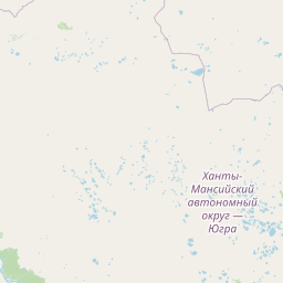
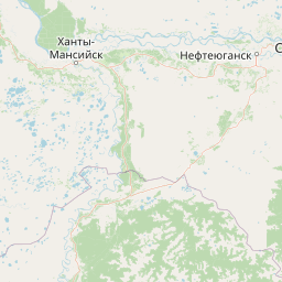
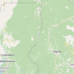
| Latitude | 62.485643333333336 |
| Longitude | 73.90083166666666 |
The vessel NONAME (mmsi 682551451) from country is currently located at 62.485643 N 73.900832 E and the last position is sent a month ago. At the moment the vessel is Not under command heading 130 degree at speed 10.4 knots, and its current draught is unknown meters. The vessel is long unknown m and large unknown m, and it's estimated to be loaded at 0%.
Timeline
The following timeline will display the list of porcalls and other events regarding the ship including tracks.
