NONAME


Information related to the vessel NONAME (MMSI 679198186, IMO unknown) from Zimbabwe with latest positions and portcalls.
| MMSI | 679198186 |
| Name | NONAME |
| Country | Zimbabwe |
| MMSI Type | Vessel |
| Type | |
| Class | A |
| Id | 673b54101bc4dc56179e2a0a |
| Course | 107.5 |
| Speed (kn) | 51 |
| Heading (°) | 285 |
| PAC | |
| ROT | 492.15917887582276 |
| Status | Restricted manoeuverability |
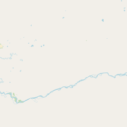


Leaflet | © OpenStreetMap contributors
| First Seen | 6 months ago |
| Last Update | 6 months ago |
| Positions | 1 |
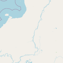
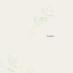
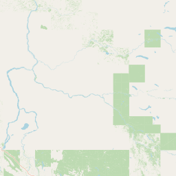
| Latitude | 64.37834166666667 |
| Longitude | -152.661295 |
The vessel NONAME (mmsi 679198186) from country Zimbabwe is currently located at 64.378342 N -152.661295 W and the last position is sent 6 months ago. At the moment the vessel is Restricted manoeuverability heading 285 degree at speed 51 knots, and its current draught is unknown meters. The vessel is long unknown m and large unknown m, and it's estimated to be loaded at 0%.
Timeline
The following timeline will display the list of porcalls and other events regarding the ship including tracks.
- 2024-11-18T14:49:52.639Z
First seen
This vessel has been detected for the first time by Oceanook
