ARES
Tug


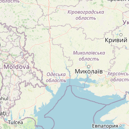
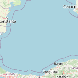
Information related to the Tug vessel ARES (MMSI 613294600, IMO unknown) from Cameroon with latest positions and portcalls.
| MMSI | 613294600 |
| Name | ARES |
| Country | Cameroon |
| MMSI Type | Vessel |
| Type | Tug |
| Call Sign | TJM0055 |
| Id | 63555d3f2e6c5fa263b8d14c |
| Course | 147 |
| Speed (kn) | 0 |
| Heading (°) | |
| PAC | |
| ROT | |
| Status |


Leaflet | © OpenStreetMap contributors
| First Seen | 3 years ago |
| Last Update | 5 months ago |
| Positions | 101 |
| Latitude | 44.16864833333333 |
| Longitude | 28.657026666666667 |
| Length (m) | 30 |
| Width (m) | 10 |
Distance travelled (nm)
| Since first seen | 440.11 |
| Since last port call | 4.8 |
| Since last position | 0.01 |
Speed (kn) / Draught (m)
The Tug vessel ARES (mmsi 613294600) from country Cameroon is currently located at 44.168648 N 28.657027 E and the last position is sent 5 months ago. At the moment the vessel is heading degree at speed 0 knots, and its current draught is unknown meters. The vessel is long 30 m and large 10 m, and it's estimated to be loaded at 0%.
Timeline
The following timeline will display the list of porcalls and other events regarding the ship including tracks.
