NONAME


Information related to the vessel NONAME (MMSI 538011507, IMO unknown) from Marshall Islands with latest positions and portcalls.
| MMSI | 538011507 |
| Name | NONAME |
| Country | Marshall Islands |
| MMSI Type | Vessel |
| Type | |
| Class | A |
| Id | 67e703d896674d034c190f14 |
| Course | 206.4 |
| Speed (kn) | 7.7 |
| Heading (°) | 207 |
| PAC | |
| ROT | 0 |
| Status | Under way sailing |


Leaflet | © OpenStreetMap contributors
| First Seen | 4 days ago |
| Last Update | 4 days ago |
| Positions | 5 |
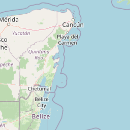
| Latitude | 20.43953 |
| Longitude | -87.02819166666667 |
Distance travelled (nm)
| Since first seen | 21.99 |
| Since last port call | 21.99 |
| Since last position | 0.48 |
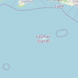
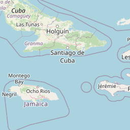
The vessel NONAME (mmsi 538011507) from country Marshall Islands is currently located at 20.439530 N -87.028192 W and the last position is sent 4 days ago. At the moment the vessel is Under way sailing heading 207 degree at speed 7.7 knots, and its current draught is unknown meters. The vessel is long unknown m and large unknown m, and it's estimated to be loaded at 0%.
Timeline
The following timeline will display the list of porcalls and other events regarding the ship including tracks.
- 2025-03-28T20:17:28.403Z
First seen
This vessel has been detected for the first time by Oceanook
