HG
Fishing


Information related to the Fishing vessel HG (MMSI 533210042, IMO unknown) from Malaysia with latest positions and portcalls.
| MMSI | 533210042 |
| Name | HG |
| Country | Malaysia |
| MMSI Type | Vessel |
| Type | Fishing |
| Call Sign | 1234567 |
| Class | B |
| Id | 679eddcf1bc4dc5617296a6a |
| Course | 310.8 |
| Speed (kn) | 0 |
| Heading (°) | |
| PAC | |
| ROT | |
| Status |

Leaflet | © OpenStreetMap contributors
| First Seen | a month ago |
| Last Update | 3 days ago |
| Positions | 37 |
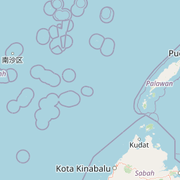
| Latitude | 6.057911666666667 |
| Longitude | 116.07014666666667 |
| Length (m) | 26 |
| Width (m) | 6 |
Distance travelled (nm)
| Since first seen | 91.72 |
| Since last port call | 91.72 |
| Since last position | 0 |
Speed (kn) / Draught (m)
The Fishing vessel HG (mmsi 533210042) from country Malaysia is currently located at 6.057912 N 116.070147 E and the last position is sent 3 days ago. At the moment the vessel is heading degree at speed 0 knots, and its current draught is unknown meters. The vessel is long 26 m and large 6 m, and it's estimated to be loaded at 0%.
Timeline
The following timeline will display the list of porcalls and other events regarding the ship including tracks.
- 2025-02-02T05:08:25.548Z
Name changed
This vessel has changed its name to HG
- 2025-02-02T02:51:59.900Z
First seen
This vessel has been detected for the first time by Oceanook
