NONAME


Information related to the vessel NONAME (MMSI 525021310, IMO unknown) from Indonesia with latest positions and portcalls.
| MMSI | 525021310 |
| Name | NONAME |
| Country | Indonesia |
| MMSI Type | Vessel |
| Type | |
| Class | A |
| Id | 679ccf8c1bc4dc5617b670c8 |
| Course | 243.3 |
| Speed (kn) | 0 |
| Heading (°) | 45 |
| PAC | |
| ROT | 0 |
| Status | Not defined (default) |


Leaflet | © OpenStreetMap contributors
| First Seen | a month ago |
| Last Update | a month ago |
| Positions | 1 |
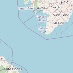
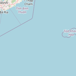
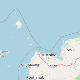
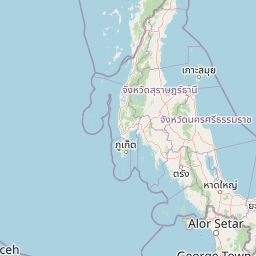
| Latitude | 4.13109 |
| Longitude | 105.12834833333334 |
Distance travelled (nm)
| Since first seen | 0.05 |
| Since last port call | 0.04 |
| Since last position | 0 |
The vessel NONAME (mmsi 525021310) from country Indonesia is currently located at 4.131090 N 105.128348 E and the last position is sent a month ago. At the moment the vessel is Not defined (default) heading 45 degree at speed 0 knots, and its current draught is unknown meters. The vessel is long unknown m and large unknown m, and it's estimated to be loaded at 0%.
Timeline
The following timeline will display the list of porcalls and other events regarding the ship including tracks.
