NONAME

Tug

FacebookLinkedInTwitterRedditVKPrint

Information related to the Tug vessel NONAME (MMSI 408201089, IMO unknown) from Bahrain with latest positions and portcalls.

MMSI408201089
NameNONAME
Country Bahrain
MMSI TypeVessel
TypeTug
Call SignA9D3664
ClassA
Id6686ac72cefad363fe97d2d2
Course320.8
Speed (kn)0
Heading (°)
PAC
ROT
StatusUnder way using engine
Leaflet | © OpenStreetMap contributors

First Seen10 months ago
Last Updatea month ago
Positions137
Latitude26.220198333333332
Longitude50.6423
Length (m)54
Width (m)13

Distance travelled (nm)

Since first seen1279.6
Since last port call249.55
Since last position0

Speed (kn) / Draught (m)

JulyAugustSeptemberOctoberNovemberDecemberJanuary2024

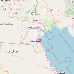
The Tug vessel NONAME (mmsi 408201089) from country Bahrain is currently located at 26.220198 N 50.642300 E and the last position is sent a month ago. At the moment the vessel is Under way using engine heading degree at speed 0 knots, and its current draught is unknown meters. The vessel is long 54 m and large 13 m, and it's estimated to be loaded at 0%.

Timeline

The following timeline will display the list of porcalls and other events regarding the ship including tracks.