NONAME


Information related to the vessel NONAME (MMSI 369040804, IMO unknown) from United States of America with latest positions and portcalls.
| MMSI | 369040804 |
| Name | NONAME |
| Country | United States of America |
| MMSI Type | Vessel |
| Type | |
| Class | A |
| Id | 679ce1a31bc4dc5617c3a308 |
| Course | 154.9 |
| Speed (kn) | 0 |
| Heading (°) | 341 |
| PAC | |
| ROT | 0 |
| Status | Moored |


Leaflet | © OpenStreetMap contributors
| First Seen | a month ago |
| Last Update | a month ago |
| Positions | 1 |
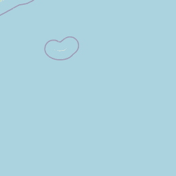
| Latitude | 40.6419 |
| Longitude | -74.11994 |
The vessel NONAME (mmsi 369040804) from country United States of America is currently located at 40.641900 N -74.119940 W and the last position is sent a month ago. At the moment the vessel is Moored heading 341 degree at speed 0 knots, and its current draught is unknown meters. The vessel is long unknown m and large unknown m, and it's estimated to be loaded at 0%.
Timeline
The following timeline will display the list of porcalls and other events regarding the ship including tracks.
