NONAME

Sailing

FacebookLinkedInTwitterRedditVKPrint

Information related to the Sailing vessel NONAME (MMSI 367572690, IMO unknown) from United States of America with latest positions and portcalls.

MMSI367572690
NameNONAME
Country United States of America
MMSI TypeVessel
TypeSailing
Call SignWDJ4453
ClassA
Id5cd38b025bd9662c44b4a221
Course80.9
Speed (kn)0
Heading (°)181
PAC
ROT2.8569784533381095
StatusMoored
Leaflet | © OpenStreetMap contributors

First Seen6 years ago
Last Update5 days ago
Positions396
Latitude37.73835166666667
Longitude-25.664421666666666
Length (m)14
Width (m)4

Distance travelled (nm)

Since first seen52139.76
Since last port call248.85
Since last position0

Speed (kn) / Draught (m)

JulAugSepOctNovDecJanFebMarApr20232024

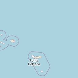
The Sailing vessel NONAME (mmsi 367572690) from country United States of America is currently located at 37.738352 N -25.664422 W and the last position is sent 5 days ago. At the moment the vessel is Moored heading 181 degree at speed 0 knots, and its current draught is unknown meters. The vessel is long 14 m and large 4 m, and it's estimated to be loaded at 0%.

Timeline

The following timeline will display the list of porcalls and other events regarding the ship including tracks.