NONAME


Information related to the vessel NONAME (MMSI 363593314, IMO unknown) from with latest positions and portcalls.
| MMSI | 363593314 |
| Name | NONAME |
| Country | |
| MMSI Type | Vessel |
| Type | |
| Class | A |
| Id | 679cd1ee1bc4dc5617b82be5 |
| Course | 278.7 |
| Speed (kn) | |
| Heading (°) | 286 |
| PAC | |
| ROT | -12.901043328354902 |
| Status | Reserved for future use |


Leaflet | © OpenStreetMap contributors
| First Seen | a month ago |
| Last Update | a month ago |
| Positions | 1 |
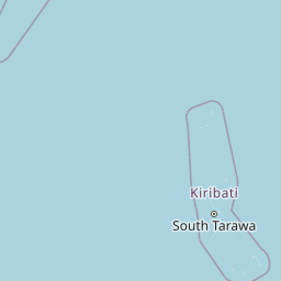
| Latitude | -0.33551 |
| Longitude | 170.52062166666667 |
The vessel NONAME (mmsi 363593314) from country is currently located at -0.335510 S 170.520622 E and the last position is sent a month ago. At the moment the vessel is Reserved for future use heading 286 degree at speed knots, and its current draught is unknown meters. The vessel is long unknown m and large unknown m, and it's estimated to be loaded at 0%.
Timeline
The following timeline will display the list of porcalls and other events regarding the ship including tracks.
