NONAME

Tanker

FacebookLinkedInTwitterRedditVKPrint

Information related to the Tanker vessel NONAME (MMSI 341815001, IMO unknown) from Saint Kitts and Nevis with latest positions and portcalls.

MMSI341815001
NameNONAME
Country Saint Kitts and Nevis
MMSI TypeVessel
TypeTanker
Call SignV4GP6
ClassA
Id6725bba11bc4dc561725bd7c
Course149
Speed (kn)12.6
Heading (°)149
PAC
ROT0
StatusUnder way sailing
Leaflet | © OpenStreetMap contributors

First Seen6 months ago
Last Update2 months ago
Positions115
Latitude24.994466666666668
Longitude35.6335
Length (m)179
Width (m)32

Distance travelled (nm)

Since first seen4274.36
Since last port call2567.53
Since last position1.47

Speed (kn) / Draught (m)

1 2 3 4 5 6 7 8 9101112131415March 2025

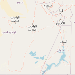
The Tanker vessel NONAME (mmsi 341815001) from country Saint Kitts and Nevis is currently located at 24.994467 N 35.633500 E and the last position is sent 2 months ago. At the moment the vessel is Under way sailing heading 149 degree at speed 12.6 knots, and its current draught is unknown meters. The vessel is long 179 m and large 32 m, and it's estimated to be loaded at 0%.

Timeline

The following timeline will display the list of porcalls and other events regarding the ship including tracks.