NONAME

Fishing

FacebookLinkedInTwitterRedditVKPrint

Information related to the Fishing vessel NONAME (MMSI 263451000, IMO unknown) from Portugal with latest positions and portcalls.

MMSI263451000
NameNONAME
Country Portugal
MMSI TypeVessel
TypeFishing
Call SignCUUS
ClassA
Id5c5a64c3dac157610418edaf
Course20.6
Speed (kn)5
Heading (°)222
PAC
ROT125.39456992854296
StatusNot defined (default)
Leaflet | © OpenStreetMap contributors

First Seen6 years ago
Last Update11 hours ago
Positions715
Latitude40.30939333333333
Longitude-9.527143333333333
Length (m)28
Width (m)8

Distance travelled (nm)

Since first seen52608.56
Since last port call558.28
Since last position0.18

Speed (kn) / Draught (m)

5 6 7 8 910111213141516171819April 2025

Draught (m)

Current3.6
Min3.6
Max3.6
Average3.6

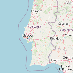
The Fishing vessel NONAME (mmsi 263451000) from country Portugal is currently located at 40.309393 N -9.527143 W and the last position is sent 11 hours ago. At the moment the vessel is Not defined (default) heading 222 degree at speed 5 knots, and its current draught is 3.6 meters. The vessel is long 28 m and large 8 m, and it's estimated to be loaded at 0%.

Timeline

The following timeline will display the list of porcalls and other events regarding the ship including tracks.