NONAME


Information related to the vessel NONAME (MMSI 250981928, IMO unknown) from Ireland with latest positions and portcalls.
| MMSI | 250981928 |
| Name | NONAME |
| Country | Ireland |
| MMSI Type | Vessel |
| Type | |
| Id | 67e315fb96674d034c20b6f4 |
| Course | 204.8 |
| Speed (kn) | 55.2 |
| Heading (°) | 63 |
| PAC | |
| ROT | |
| Status |

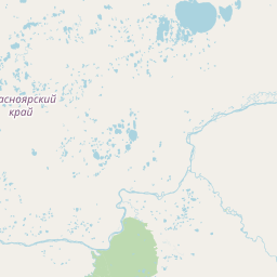
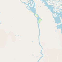
Leaflet | © OpenStreetMap contributors
| First Seen | 3 days ago |
| Last Update | 3 days ago |
| Positions | 1 |
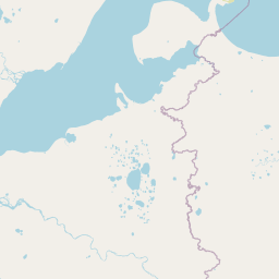
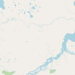
| Latitude | 72.95898666666666 |
| Longitude | 112.15677166666667 |
The vessel NONAME (mmsi 250981928) from country Ireland is currently located at 72.958987 N 112.156772 E and the last position is sent 3 days ago. At the moment the vessel is heading 63 degree at speed 55.2 knots, and its current draught is unknown meters. The vessel is long unknown m and large unknown m, and it's estimated to be loaded at 0%.
Timeline
The following timeline will display the list of porcalls and other events regarding the ship including tracks.
- 2025-03-25T20:45:47.146Z
First seen
This vessel has been detected for the first time by Oceanook
