NONAME

Fishing

FacebookLinkedInTwitterRedditVKPrint

Information related to the Fishing vessel NONAME (MMSI 224098680, IMO unknown) from Spain with latest positions and portcalls.

MMSI224098680
NameNONAME
Country Spain
MMSI TypeVessel
TypeFishing
ClassA
Id5ca1d3bfdf27e97115802515
Course330.2
Speed (kn)9.5
Heading (°)264
PAC
ROT1.6070503800026865
StatusReserved for future use
Leaflet | © OpenStreetMap contributors

First Seen6 years ago
Last Update16 hours ago
Positions633
Latitude36.74204
Longitude-3.0185583333333335
Length (m)17
Width (m)6

Distance travelled (nm)

Since first seen5083.25
Since last port call373.08
Since last position0.26

Speed (kn) / Draught (m)

7 8 9101112131415161718192021April 2025

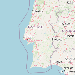
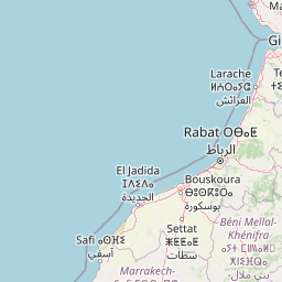
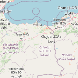
The Fishing vessel NONAME (mmsi 224098680) from country Spain is currently located at 36.742040 N -3.018558 W and the last position is sent 16 hours ago. At the moment the vessel is Reserved for future use heading 264 degree at speed 9.5 knots, and its current draught is unknown meters. The vessel is long 17 m and large 6 m, and it's estimated to be loaded at 0%.

Timeline

The following timeline will display the list of porcalls and other events regarding the ship including tracks.