DOLE PACIFIC

Cargo

FacebookLinkedInTwitterRedditVKPrint

Information related to the Cargo vessel DOLE PACIFIC (MMSI 311000414, IMO 9703057) from Bahamas with latest positions and portcalls.

MMSI311000414
IMO9703057
NameDOLE PACIFIC
Country Bahamas
MMSI TypeVessel
TypeCargo
Call SignC6CA2
ClassA
Id5c05b4a4b9a4566a92977940
Course164.6
Speed (kn)11.8
Heading (°)166
PAC
ROT-0.7142446133345274
StatusUnder way using engine
Leaflet | © OpenStreetMap contributors

First Seen6 years ago
Last Update3 hours ago
Positions557
Latitude32.007405
Longitude-117.25333
Length (m)190
Width (m)30
DestinationGUAYAQUIL
ETANov 13, 2019 12:00 AM

Distance travelled (nm)

Since first seen225658.1
Since last port call85.51
Since last position0.39

Estimated Load

33%

Speed (kn) / Draught (m)

11121314151617181920212223242526April 2025

Draught (m)

Current8
Min7
Max10
Average8.97

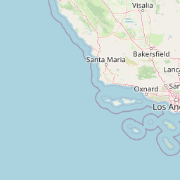
The Cargo vessel DOLE PACIFIC (mmsi 311000414) from country Bahamas is currently located at 32.007405 N -117.253330 W and the last position is sent 3 hours ago. At the moment the vessel is Under way using engine heading 166 degree at speed 11.8 knots, and its current draught is 8 meters. The vessel is long 190 m and large 30 m, and it's estimated to be loaded at 33%.

Timeline

The following timeline will display the list of porcalls and other events regarding the ship including tracks.