NONAME
Not available


Information related to the Not available vessel NONAME (MMSI 367105180, IMO unknown) from United States of America with latest positions and portcalls.
| MMSI | 367105180 |
| Name | NONAME |
| Country | United States of America |
| MMSI Type | Vessel |
| Type | Not available |
| Class | A |
| Id | 5c487cdf34c1fe322bab1bbc |
| Course | 34.4 |
| Speed (kn) | 4.2 |
| Heading (°) | 39 |
| PAC | |
| ROT | 0 |
| Status | Reserved for future use |


Leaflet | © OpenStreetMap contributors
| First Seen | 6 years ago |
| Last Update | 4 minutes ago |
| Positions | 1860 |
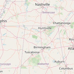
| Latitude | 33.44605333333333 |
| Longitude | -88.44040833333334 |
| Length (m) | 218 |
| Width (m) | 18 |
| ETA | Jan 17, 2020 5:55 PM |
Distance travelled (nm)
| Since first seen | 260871.34 |
| Since last port call | 685.8 |
| Since last position | 0 |
Speed (kn) / Draught (m)
Draught (m)
| Current | 2 |
| Min | 2 |
| Max | 2.8 |
| Average | 2 |
The Not available vessel NONAME (mmsi 367105180) from country United States of America is currently located at 33.446053 N -88.440408 W and the last position is sent 4 minutes ago. At the moment the vessel is Reserved for future use heading 39 degree at speed 4.2 knots, and its current draught is 2 meters. The vessel is long 218 m and large 18 m, and it's estimated to be loaded at 0%.
Timeline
The following timeline will display the list of porcalls and other events regarding the ship including tracks.
